Managing Memories
 |
| For all my friends who wondered about the varied colors of globemallows, this is the color/type seen commonly around the Northern part of Arizona. |
 |
| This butte is large. For scale note the power-line tower in the lower right. And I wondered later why I hadn't made an attempt to climb this thing. . . y'know, just for the view. |
 |
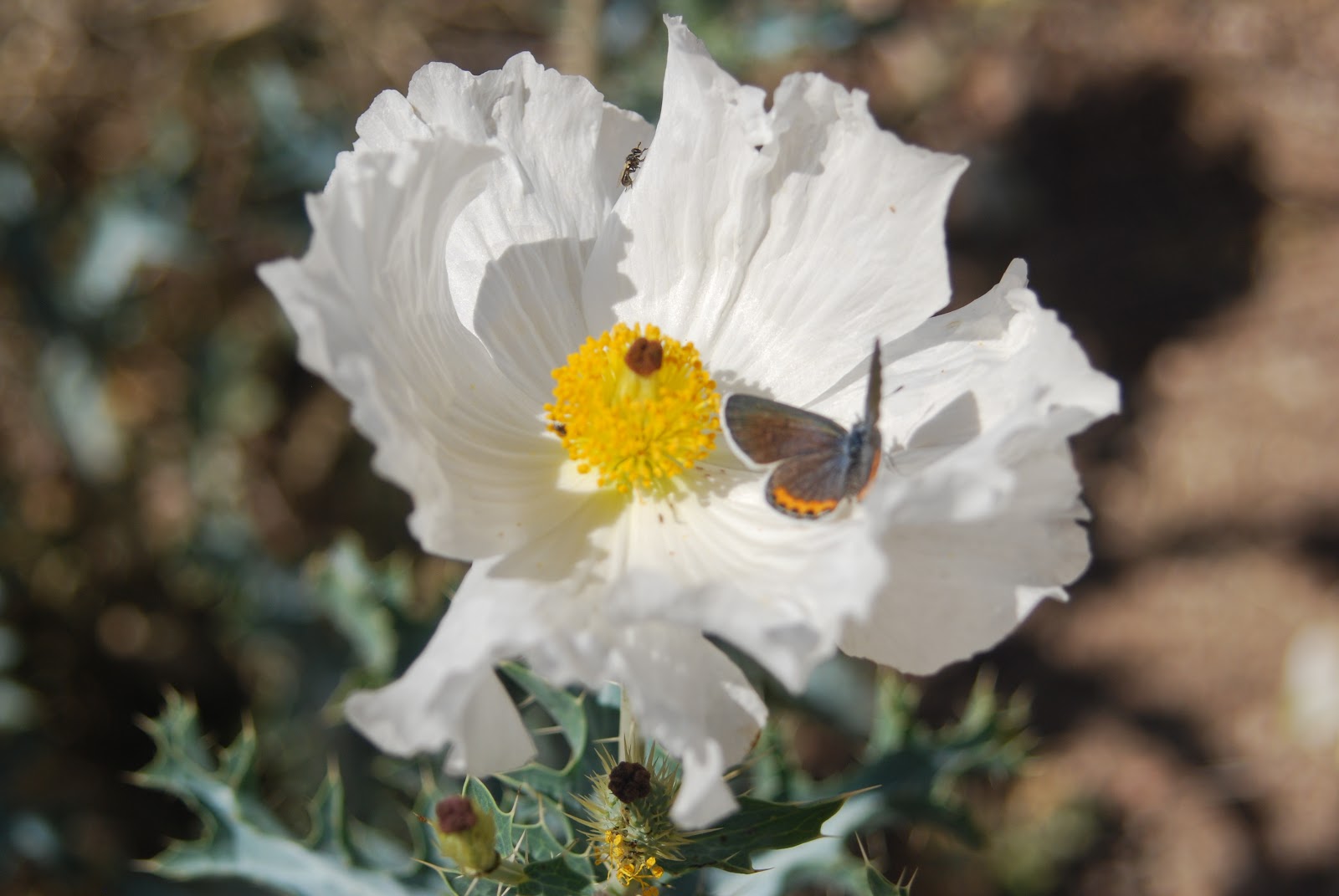
| It was hot down at Organ Pipe Cactus National Monument even as leaves on the Ocotillo indicate that it had rained within the last two weeks. The flowers were a bonus. |
 |
| A skeletal bush filters the sunlight at Saguaro National Park. |
 |
| Tombstone Territory presents a more sylvan side than its gunfighter reputation. |
 |
| Pretty to look at, hellish to hike. The first 300 yds., at least, were downhill . . . all the rest was just hot rock. |
Labels: Arizona historic town, cactus photo, desert environment, desert photography, globe mallow, Mel Burke, organ pipe cactus national monument, Saguaro, Saguaro West, superstition wilderness, Tombstone
posted by Unknown at
7:53 PM
0 Comments
![]()
![]()